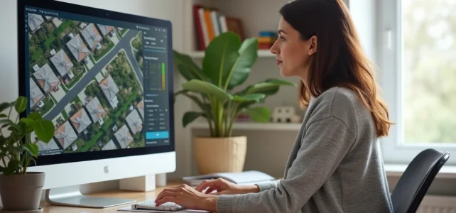
An aerial view of your house accessible for free from a web browser is always based on satellite or aerial images captured at an earlier date. No public service currently broadcasts a live video feed from a satellite pointed at a specific address. Understanding this technical distinction allows for the use of the right tools, without unrealistic expectations.
Why live satellite view does not exist for the general public
The term “live” applied to satellite images can be misleading. Specialized platforms like SkyFi explain that their fastest services fall under “near real-time,” meaning an image captured and then delivered within 24 hours. This is not a continuous video feed.
The images visible on Google Earth or the Géoportail are snapshots taken during satellite passes or aerial photography campaigns, then processed, stitched together, and cached. The delay between capture and online availability can reach several months, sometimes even years. SkyFi also specifies that Google Earth-type images are often “outdated by months, if not years.”
For those wishing to delve deeper into the available methods, a detailed guide on the aerial view of my house on Zen et Déco summarizes the different options and their real limitations.
Mobile applications that announce a “live satellite view” practically combine static images with updated weather or traffic data. The impression of real-time comes from overlaying dynamic layers on a static map background.
Google Earth and Google Maps: resolution and freshness of aerial images
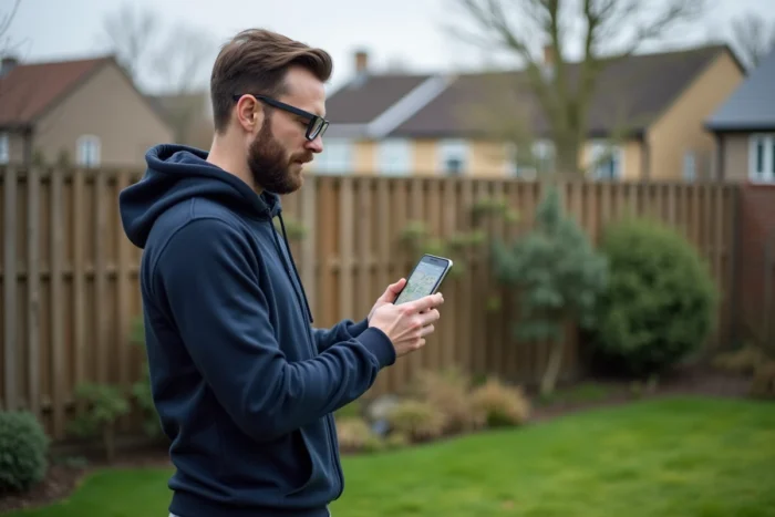
Google Earth remains the most widely used free tool for obtaining an aerial view of your house. The web version (earth.google.com) requires no installation. You just need to type your address in the search bar and then zoom in.
What Google Earth actually displays
The 3D globe assembles satellite images and aerial photographs purchased from various providers. The resolution varies by geographic area: urban centers benefit from more detailed snapshots than rural areas.
Google does not publish a fixed update schedule. Some cities have their images renewed several times a year, while others wait much longer. The capture date can be viewed at the bottom of the screen in Google Earth.
Street View and Immersive View
Google Maps offers Street View for navigating at street level. The Immersive View feature, accessible from the mobile app, reconstructs a three-dimensional aerial view of certain cities from combined data. To switch between the two modes:
- Search for the address in Google Maps, then tap on the Street View thumbnail
- In the bottom left, tap on “Aerial View” to switch to Immersive View
- Tap on “Street” to return to ground view
These reconstructed views provide a convincing aerial perspective, but they are not a live feed.
Géoportail from IGN: the French reference for aerial photographs
The Géoportail (geoportail.gouv.fr) provides access to aerial photographs from the National Institute of Geographic and Forestry Information. These snapshots cover the entire metropolitan territory and overseas regions.
The “Aerial Photographs” layer serves as the default map background. The resolution is often higher than that of Google Earth over French territory, especially in peri-urban and rural areas. The tool also allows for the overlay of thematic data: cadastre, urban planning zoning, natural risks.
The Géoportail maintains a history of photography campaigns. It is possible to consult old snapshots to compare the evolution of a plot or building over several decades. This function, absent from the free version of Google Earth, is of real interest for verifying the previous state of a parcel.
Specialized alternatives for recent satellite images
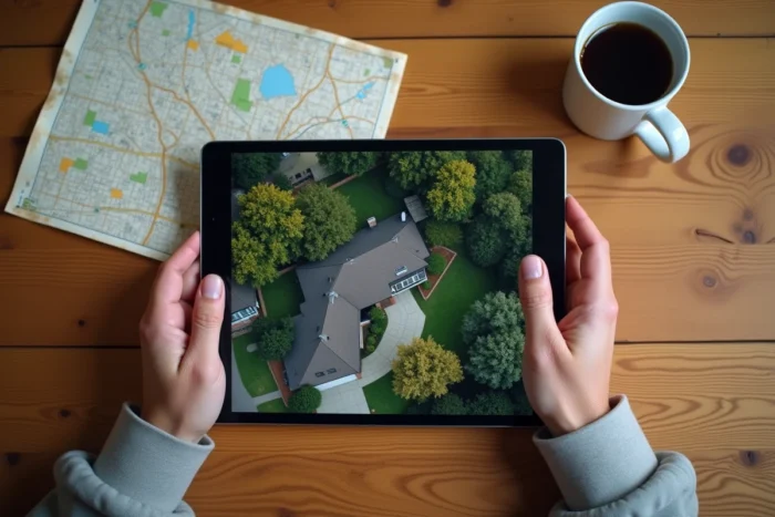
Beyond Google and IGN, other platforms allow for free access to aerial images, with different approaches.
- EOS Landviewer (eos.com/landviewer) offers access to images from several satellite constellations. The free version provides medium-resolution snapshots, sufficient to distinguish a building
- NASA Worldview (eyes.nasa.gov) provides satellite images updated daily, but at a regional scale, not precise enough to identify an individual house
- Public webcams (SkylineWebcams, LookCam) offer a true live feed, but only for locations where a camera is installed, which excludes most residential areas
To obtain a recent high-resolution image of a specific address, paid services like SkyFi or EagleView offer custom orders. The cost remains a barrier for occasional domestic use.
Technical limitations and concrete alternatives
The main constraint remains physical: a low Earth orbit satellite only passes over the same point intermittently. Producing a continuous video feed of a given address would require a dedicated constellation of satellites, with costs incompatible with free access.
For a recent and accurate aerial view, the most accessible solution remains drone flyovers. Local providers offer high-definition shots on demand. This option provides truly up-to-date images, with a chosen angle and resolution.
The free tools available on the Internet allow you to observe your house from the sky with a level of detail often sufficient for everyday use. The capture date will always lag behind the moment of consultation. Keeping this lag in mind prevents making decisions (construction, boundary verification) based on an image that no longer reflects the current state of the land.